Land Management
Spring Valley
Located north of Yankee Boulevard in Airdrie, Alberta, the Spring Valley asset is comprised of 5 contiguous quarter sections (approx. 800 acres). In January of 2013, a group of developers, builders, designers, planners, and engineers gathered to consider the development opportunity of Spring Valley. The group worked with a full understanding of The City’s policies, the constraints and opportunities impacting the site and the community. The objective was to establish design principles and prepare a development vision based on these principles guided by The City’s objectives for the future of new development.
High Plains Industrial Park
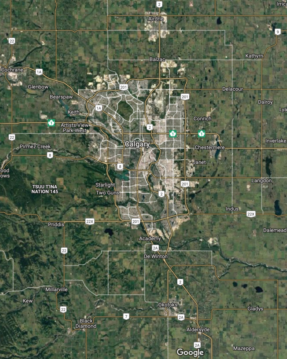
Located immediately north of Calgary in Rocky View County, High Plains Industrial Park spans over 1,300 acres and can accommodate businesses of virtually any size or use. Located in close proximity to the Stoney Trail ring road, High Plains is conveniently located for businesses to service their markets in and around Calgary, Alberta, and all of western Canada. High Plains is home to Sobeys, Lowe’s Canada, Smucker Foods Canada, The Home Depot Canada, CHEP Canada, Conagra, and Walmart Canada as well as numerous corporate customers who are slated to develop their new facilities. High Plains has serviced lots available for immediate possession and is also currently marketing industrial condos with outside storage capabilities.

Ascension
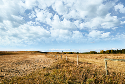
Located southwest of the interchange at 12 Mile Coulee Road and Highway 1A, this 275-acre greenfield asset is adjacent to the City of Calgary but governed under the Municipal District of Rockyview. Preliminary design options to meet current market demand for this highly desirable and readily accessible asset are under review.
Hudson in Pine Creek
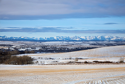
Located south of 210 Avenue SW in the City of Calgary, the Pine Creek asset is comprised of approximately 160 acres of future residential and environmental reserve uses, with an additional 40% interest in an adjacent 320-acre assembly. Future development of the combined land parcel is managed under the West Macleod Area Structure Plan which provides policy direction to guide land use entitlement and servicing standards. The City of Calgary growth management overlay has been removed for these lands thereby opening up investment to accommodate imminent development.
Ribstone Ranch
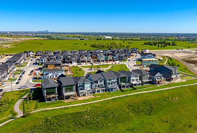
Ribstone Ranch will be set on 866 acres of rolling foothills located within the Central District in the Municipal District of Foothills, which has been identified by the MD as an area for high growth. The land lies two kilometers south of the Bow River and Highway 552 runs parallel to Ribstone’s southern boundary. Another major roadway – Dunbow Road – runs just one half kilometer north of Ribstone’s northern boundary. Both roadways connect with Highway 2 about five kilometers to the west, which offers direct access to the urban centers of Calgary and Okotoks.
Aldersyde
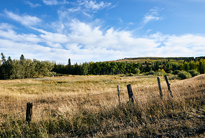
Located south of highway 547 and west of highway 2, near Okotoks, Alberta, the Aldersyde asset is comprised of approximately 1,000 acres of rural agricultural land within the Municipal District of Foothills. At this time, County Council has approved a terms of reference for the pursuit of an Area Structure Plan (ASP) for the lands. The ASP, once approved, will set high level policy to assist in the transition of the lands from agricultural purposes to more intense uses of residential and commercial development.
